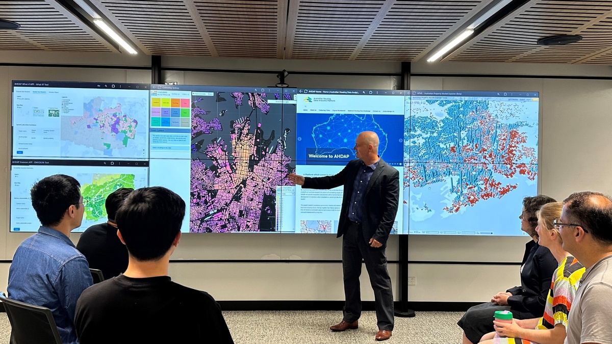
For Chris Pettit, GenAI is helping simplify complex data and the City Futures Research Centre is pursuing industry partnerships to magnify its societal impact.
When Scientia Professor Chris Pettit joined UNSW around 10 years ago, the then Faculty of Built Environment was setting up the City Analytics Lab’s (CAL) capability to work with big data generated by government and the private sector. CAL is one of two analytics facilities situated as part of the City Futures Research Centre, the other being the Housing Analytics Lab. City Futures is celebrating its 20th anniversary this year.
“We started with a small project initially, funded through the Cooperative Research Centre (CRC) for Spatial Information, working with the Valuer General of NSW. We looked at how we could combine AI – particularly machine learning AI – with big property data and open data from the NSW Government. It was like a ‘living laboratory’ where we could create better property valuations,” said Chris, who is Director of UNSW Arts, Design & Architecture’s City Futures Research Centre.
The next project, with councils and Landcom, tested the model with more end-users interested in property valuations. Then came – again with funding through the CRC program – a $8.7 million project working with the Commonwealth Bank, FrontierSI, Omnilink, Liverpool City Council and the Valuer General. In 2022, the model was sold to PEXA and City Futures Research Centre became their R&D partner.
“PEXA took the property valuation tool to market, and the AI-based next generation automated valuation model is now used by some of Australia’s biggest banks,” Chris said.
GenAI and MapAI
Around the time ChatGPT was launched, City Futures began a new research project called MapAI. It too was a collaboration – this time with FrontierSI – looking at location-based insights.
“With a lot of the GenAI platforms you ask questions and get text, graphics and images – you won’t get a map. With MapAI you can say, ‘Show me all the properties within 400 metres of a train station’. It’s one of the first tools in the world bringing together GenAI with mapping and geospatial intelligence,” Chris said.
Dr Bala Soundararaj led the development of an early MapAI prototype focused on unmet housing needs, based on a data product created by Dr Ryan van den Nouwelant in partnership with the Community Housing Industry Association (CHIA). The prototype comprises an interactive mapping interface that’s easy for policymakers to interrogate and understand the top 10 worst Local Government Areas (LGAs) with unmet housing needs.
Then came a prototype with other councils – like Geelong City Council, looking at other use cases such as resident enquiries about street parking. With geospatial mapping at a council worker’s fingertips, they can locate disabled parking bays close to a library, for example.
The team also built a proof-of-concept geospatial mapping tool for NSW Government Spatial Service where you can ask it to show your property on a map. Then you can ask further questions, like: what’s the size of the property? Which properties are nearby? What schools and parks are nearby? What’s the closest light rail station?
“By working with our industry partners, including Government, local councils and the not-for-profit sectors, we are looking at how we can maximise societal impact. Through industry partnerships such as with PEXA Insights who service 300 councils, we’re thinking about how our societal impact can be further magnified,” Chris said.
MAP-AI, the spinout
A year ago, MapAI was formed into a company with investment from UNSW and FrontierSI. The team worked on another large project through the CRC program ($6.5m) with two partners – Archistar and PEXA.
“What we're doing with MapAI is democratising geospatial information via a simple mapping and chat interface,” Chris said. “A whole lot of locational insights can be gained by enabling existing platforms with GenAI.”
Both the partner companies already had standard dashboards and interfaces that they provide to their customers, but a GenAI solution can become a lot more intuitive, Chris said.
“We are building MapAI into their platforms and their data ecosystems, making it easier for their end-users. GenAI is the new user interface [UI] with a lot more flexibility to ask multiple queries in natural language. For example, you could ask: is this property close to a park, to a school and to the light rail?
Chris said many large organisations have a wealth of big data that are untapped, even within those organisations. With MapAI they are empowering the user to ask more complex queries and are making it more intuitive and easier for them to explore and unlock insights.
MapAI won two awards – the Innovation Award for Medium to Large Business and the Technical Excellence Award – at the 2024 Geospatial Excellence Awards NSW.
Trustworthy support tools
With a more recent Australian Research Council (ARC) Discovery Project grant, Chris, Professor Bill Randolph, Dr Ryan van den Nouwlent and Dr Charlie Gillon are investigating the legal, technical and ethical requirements for the trustworthy use of AI in urban development assessment.
“If you go into any big AI model and ask a question, some of the answers won’t be correct,” Chris said. “One dimension of trustworthiness is accuracy. So, what does that mean for the legal system where planning decisions are being made?
“As this technology moves at such a rapid pace, we have to think about whether it’s being used appropriately, and whether it’s transparent, accurate, ethical and legal.”
- Log in to post comments
